

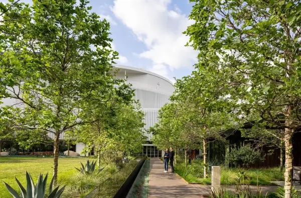
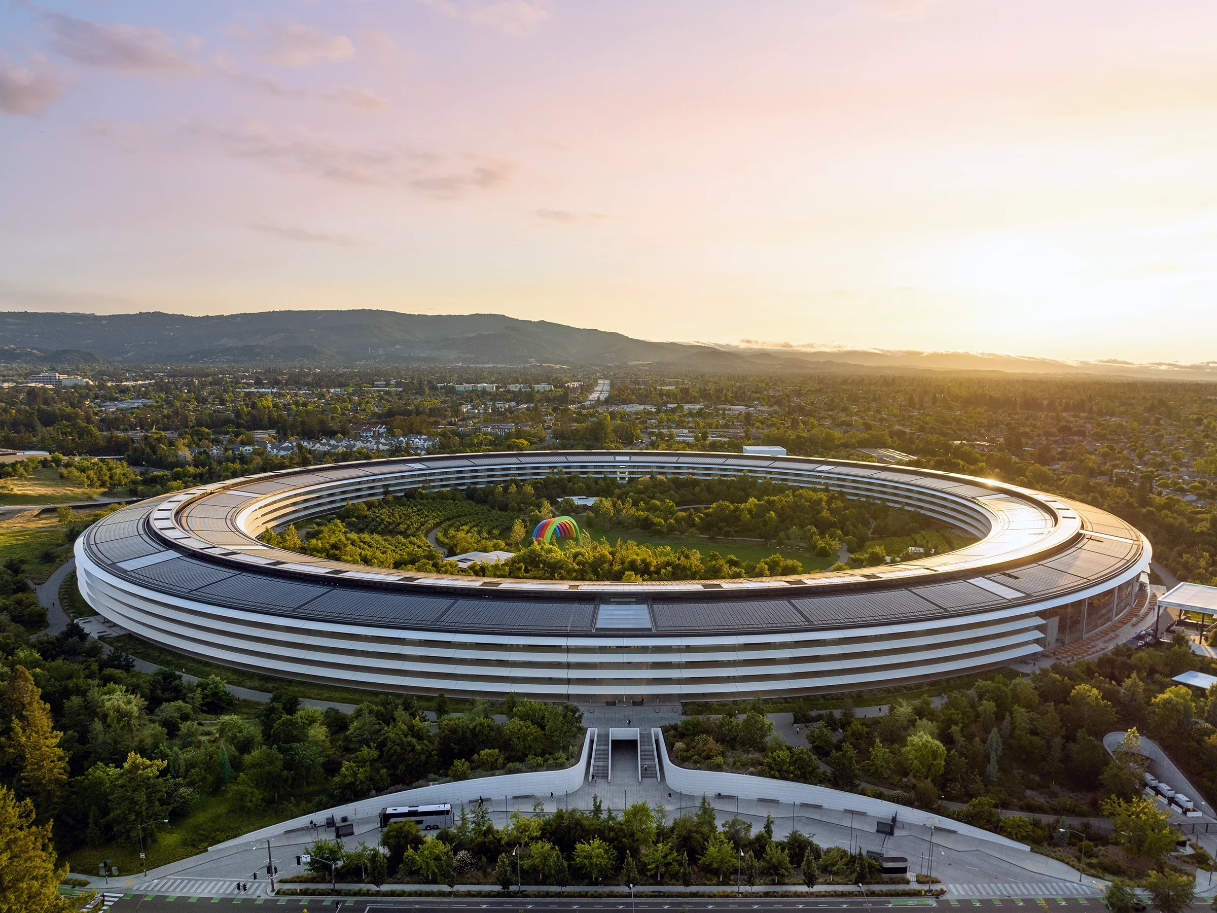
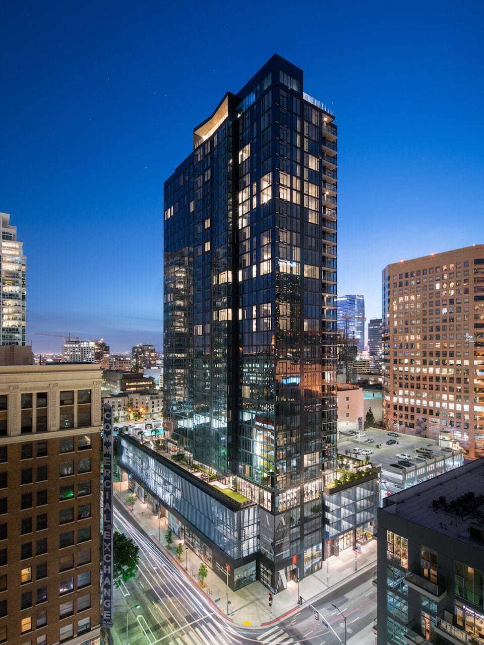
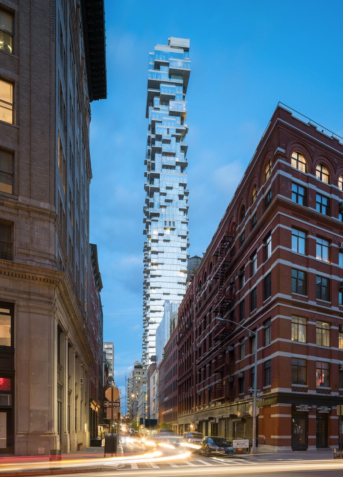
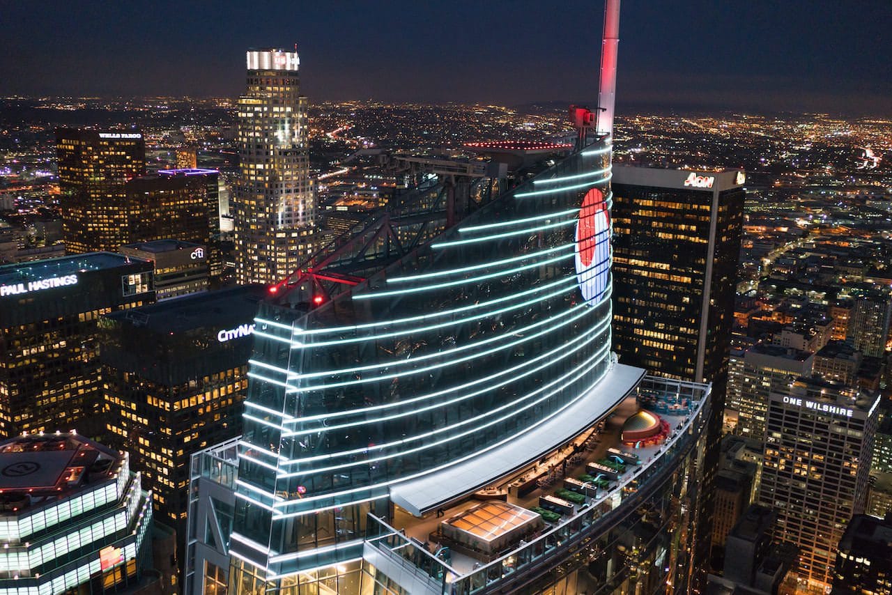
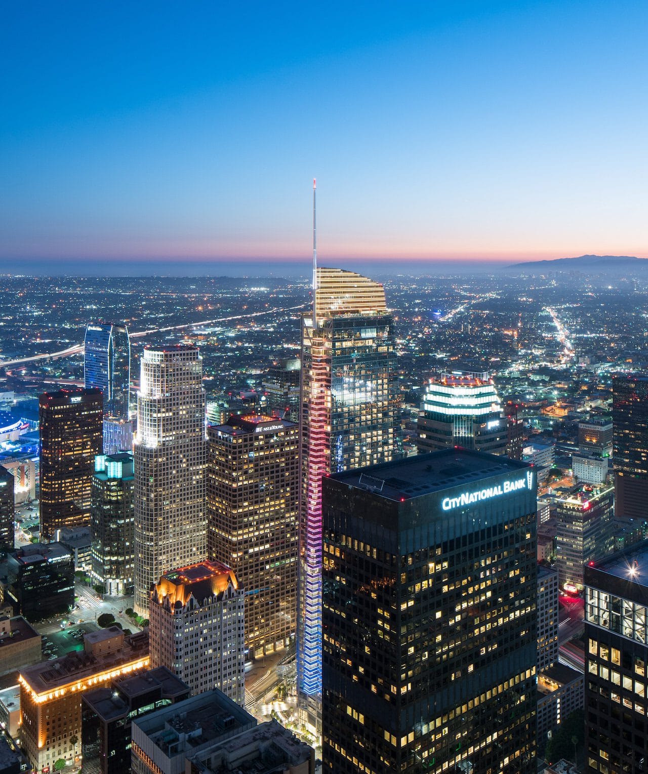
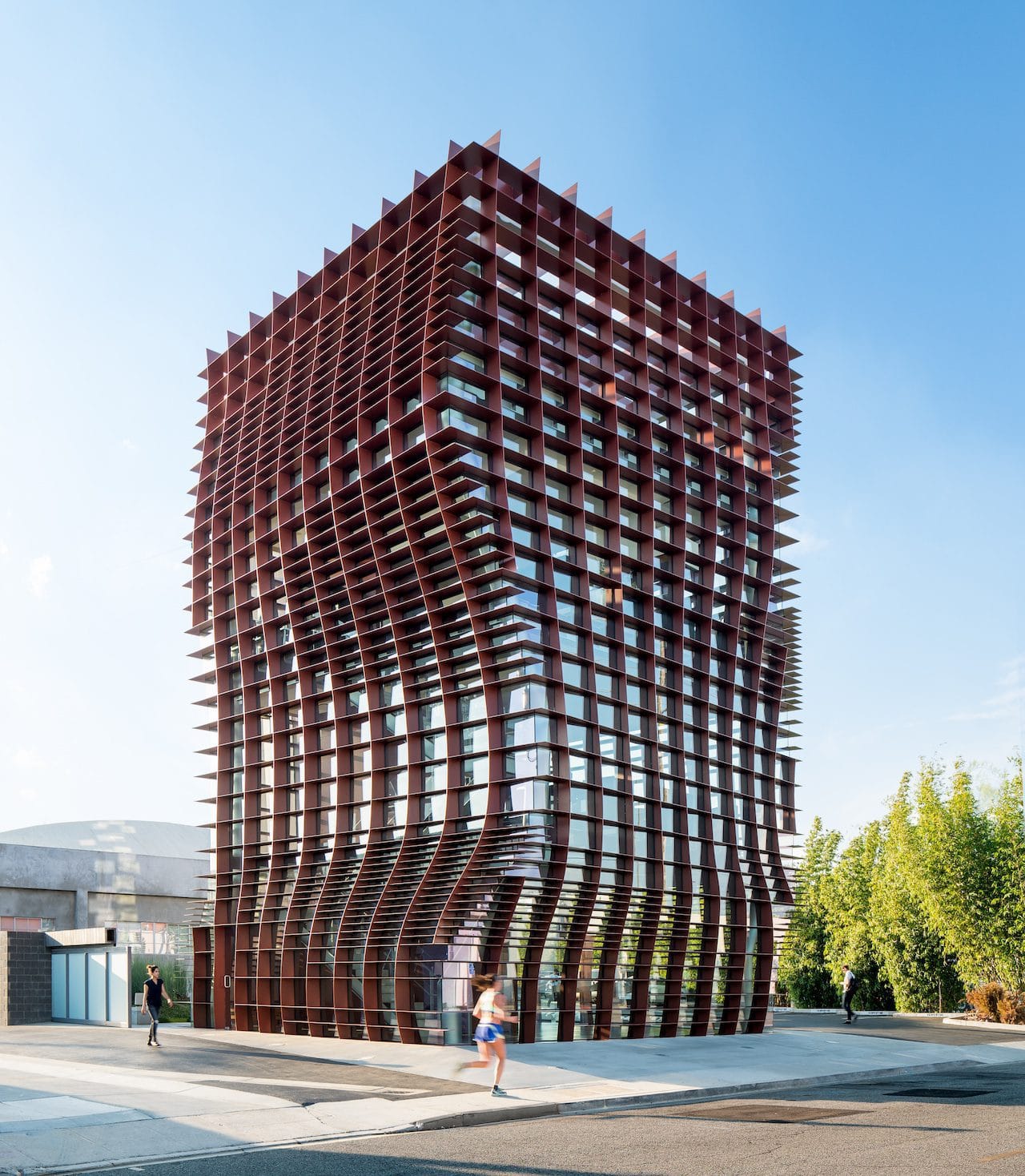
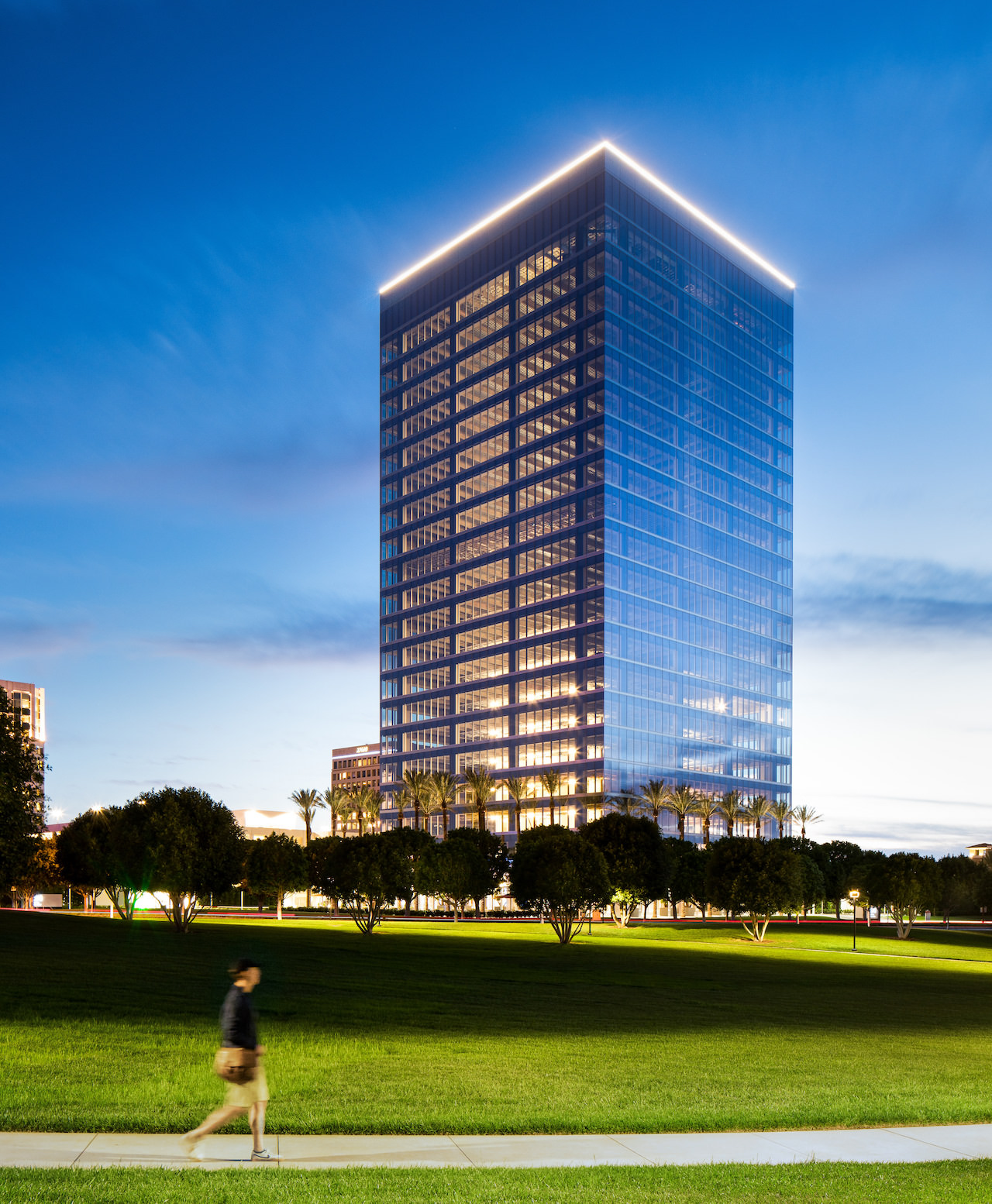
Aerial photography has the power to reveal what ground-level images simply can’t—context, scale, and the relationship between a structure and its environment. As an architectural photographer, I use aerial photography to capture the full story of a building, campus, or development. Whether it’s a high-rise rising above the skyline or a large corporate campus integrated into the landscape, aerial imagery delivers the perspective that architects, developers, and marketers need.
My Aerial Photography Service is designed specifically for architecture, commercial real estate, hospitality, and large-scale developments. Combining artistic composition with technical precision, I create images that highlight form, layout, and surrounding context in a way that feels both dramatic and informative.
With years of experience photographing architecture and the built environment, I understand how to translate complex projects into compelling visuals from above. I’m FAA-licensed to operate drones and also experienced in helicopter-based aerial photography, allowing me to capture perspectives that best serve each project. This flexibility ensures that every aerial shoot is tailored to the scale, location, and creative goals of the assignment.
From planning flight paths to choosing the perfect time of day for light and shadow, every aerial session is approached with the same attention to detail that defines my architectural photography work.
Architectural photography expertise
Drone pilot for professional aerial imaging
By architects, developers, and design firms
From both drone and helicopter platforms
That highlights architecture and site context
Imagery suitable for marketing and publications
My aerial photography service includes pre-shoot planning, FAA-compliant drone operations, professional image capture, and high-resolution edited photographs ready for marketing, publication, or documentation.
Both. I regularly photograph projects using drones and also work from helicopters when the scale or location of the project requires higher altitude perspectives.
Yes. I am FAA-licensed for commercial drone operations, ensuring all aerial photography work is performed legally and safely.
Aerial photography is ideal for large developments, corporate campuses, universities, hotels, urban high-rises, construction projects, and commercial real estate.
Lighting is critical. Early morning and late afternoon typically produce the most dramatic shadows and architectural definition.
Yes, and that’s one of its biggest advantages. Aerial images reveal how a building relates to its surroundings—landscape, streets, neighboring structures, and site planning.
Drone operations typically follow FAA altitude guidelines, but helicopter photography allows for significantly higher and wider perspectives when needed.
Yes. I regularly travel for architectural photography projects and aerial shoots throughout the United States.
Most aerial sessions range from one to several hours depending on the complexity of the project and the number of perspectives required.
All photographs are professionally edited and delivered as high-resolution digital files suitable for print, marketing, and online use.
If you want to show the full scale, context, and design impact of your project, aerial photography can make all the difference.
I work closely with architects, developers, and creative teams to create images that communicate both the design and the environment surrounding it.
Let’s capture your project from the perspective it deserves.